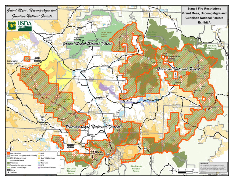
MONTROSE, Colo. – The Bureau of Land Management (BLM) Southwest District plans to burn slash piles on public lands managed by BLM at several locations in the Gunnison and Tres Rios Field Offices as conditions allow throughout the winter. These burns are part of larger projects on the Southwest District to reduce hazardous fuels and restore forest health. Prescribed pile burning locations include:
• Baldy Pine Piles, 14 miles west of Powderhorn, CO & 4 miles west of Highway 149
• Los Pinos Piles, 13 miles south-southeast of Powderhorn, CO & Highway 149
• Overlook Piles on Dolores West Rim, 6 miles east of Dove Creek, CO & Highway 149
• Grandview Piles in Grandview/3 Springs area, southeast of Durango & 2 miles NW of Mercy Medical Center
• Yellow Jacket piles within Canyons of Ancients National Monument, 24 miles west of Cortez, CO
• Summit Lake piles south of Highway 184 between Dolores and Mancos, CO
• Edgemont Highlands piles 5 miles northeast of Durango, CO
“The burn plans contain specific criteria regarding amount of snow or rain received, weather conditions and acceptable smoke dispersal to minimize potential air quality impacts to local communities. These projects will improve forest health by achieving specific resource objectives such as habitat improvement and fuels reduction, along with reducing wildfire risk to communities,” stated James Savage, BLM Supervisory Fuels Specialist.
“Projects in the Los Pinos and Baldy Pine areas are reducing hazardous fuels from bug kill mitigation efforts to improve forest health,” said Brian Stevens, BLM Fire Management Specialist.
The prescribed pile burning may take multiple days to complete once initiated and will be monitored throughout the process to ensure public safety. While smoke may be visible in the area at times, most of the smoke will lift and dissipate during the warmest parts of the day. A detailed burn plan outlines the parameters for prescribed burns.
The BLM obtained smoke permits from the Colorado State Air Pollution Control Division, which identify atmospheric conditions under which the burns can be implemented. Prescribed fire smoke may affect your health. For more information, visit https://www.colorado.gov/pacific/cdphe/wood-smoke-and-health.
For information on prescribed burns, visit the Southwest District BLM Prescribed Fire InciWeb page (https://inciweb.nwcg.gov/incident/7852/) or follow us on Twitter (https://twitter.com/SWD_Fire) and Facebook (http://www.facebook.com/BLMMontroseFireUnit).
-BLM-
The Southwest Colorado BLM District covers the BLM Gunnison Field Office, Uncompahgre Field Office, and Tres Rios Field Office in the Colorado counties of Archuleta, Conejos, Delta, Dolores, Gunnison, Hinsdale, La Plata, Mesa, Mineral, Montezuma, Montrose, Ouray, Rio Grande, Saguache, San Juan, and San Miguel.
The BLM manages more than 245 million acres of public land located primarily in 11 Western states, including Alaska. The BLM also administers 700 million acres of sub-surface mineral estate throughout the nation. The agency’s mission is to sustain the health, diversity, and productivity of America’s public lands for the use and enjoyment of present and future generations. Diverse activities authorized on these lands generated $111 billion in economic output across the country in fiscal year 2020—more than any other agency in the Department of the Interior. These activities supported more than 498,000 jobs.